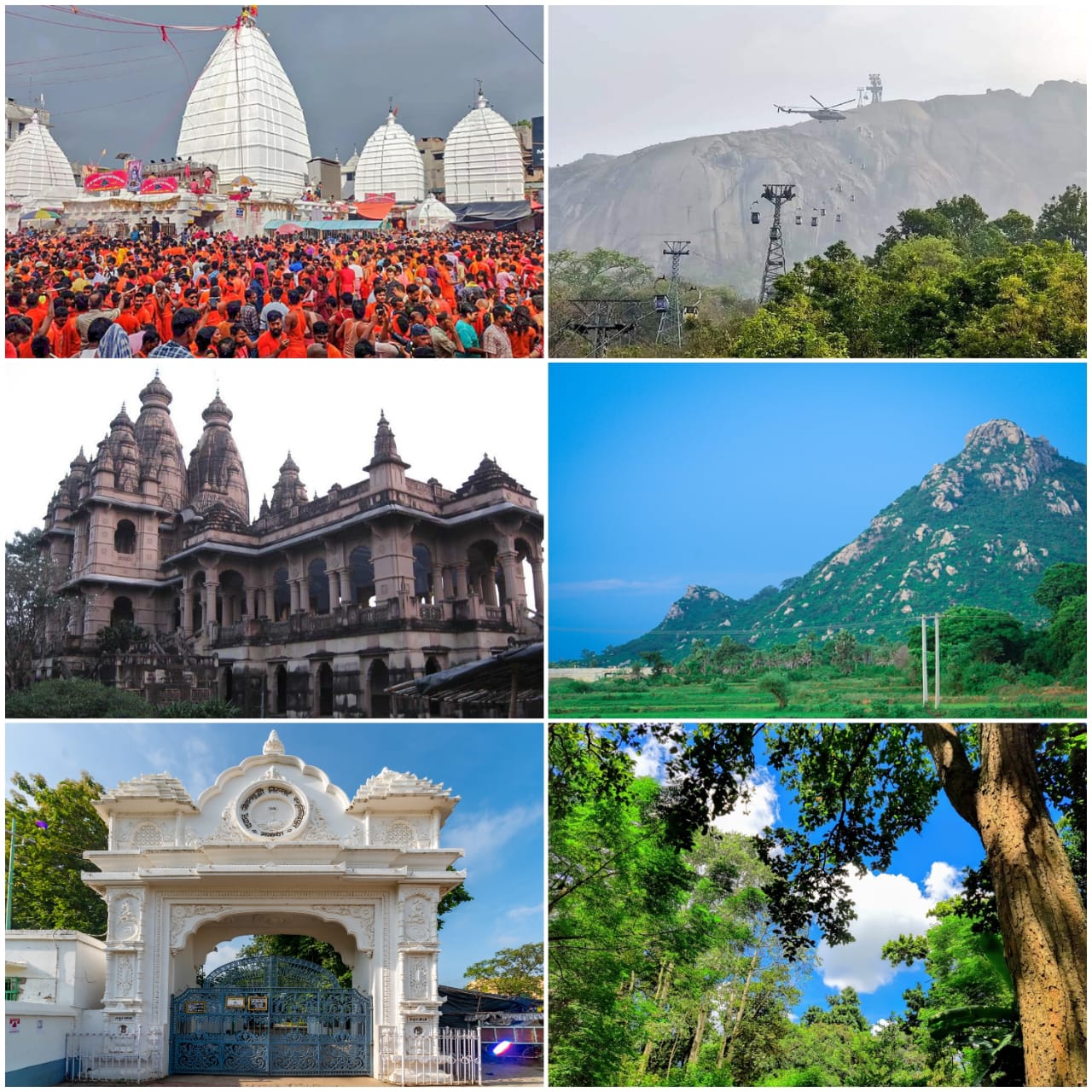



Deoghar district (pronounced, Devo ka ghar) is one of the twentyfour districts of Jharkhand state in eastern India. Deoghar, the central city of the district, is also its administrative headquarters. This district is known for the Baidyanath Jyotirlinga shrine and is a part of the Santhal Pargana division. Deoghar is a Hindi word, meaning abode (‘ghar’) of the Gods and Goddesses (‘dev’). Deoghar is also known as “Baidyanath Dham,” and “Baba Dham,”.
The district was formed on 1 June 1981 by separating it from the former Santhal Pargana district.
The Deoghar district is located in western portion of Santhal
Parganas. It shares its boundary with Banka and Jamui districts in the
north, Dumka in the east, Jamtara in the south, and Giridih in the west.
The district extends from 24.0.03' N to 23.0.38' N and from 86.0.28' E to 87.0.04' E; it has an area of 2481 km2. It had a population of
1,491,879 people according to the 2011 Census of India.
The district contains several clusters of rocky hills covered by
forest with a series of long ridges with intervening depressions. Most
of the rolling highlands are cultivated by highland crops. The average
elevation of the district is 247 m above mean sea level. There are some
hill ranges like Phuljori (750 m), Tiur (670 m), and Degharia (575 m).
The general slope of the district descends to the southeast.
Geologically, the district is mainly covered by Chhota Nagpur granite
gneiss of Archean age with patches of alluvium, sandstone, and shale of
Gondwana formations. Important rivers flowing in the district include
the Ajay and the Patro. These rivers gather a large number of tributaries
that form the landscape full of Tanrs and Dons.
After independence the Dumka Forest Division was split into two
parts namely Dumka Division and Deoghar Division. Total forest area of
old Deoghar Forest Division was 732.36 sq.km, comprising of 235.96 sq.km.
in Deoghar Civil Subdivision and 66.45 sq.km. in Jamtara Civil
Subdivision of Santhal Pargana District, and 429.95 sq. km. in Banka
Civil Subdivision of Bhagalpur District. Deoghar Forest Division was
created on the 1st of June 1952. In the year 1984, Banka Forest Division
was carved out from erstwhile Deoghar Forest Division, with an aim to
ensure better forest management.
After the new state of Jharkhand came into being, Jamtara SubDivision of Dumka District was made a separate district, consequent upon
which the Govt. of Jharkhand decided to create Jamtara Forest Division
making its boundary co-terminus with Jamtara District.
At present Deoghar Forest Division comprises of a total forest area
of 239.06 sq.km, the boundary of which is co-terminus with Deoghar
District. Total geographical area of the district of Deoghar is 2428.59
Sq.km.
The present Deoghar Forest Division lies between 830
33’ to 870
15’
East longitude and 230
45’ to 250
00’North latitude
The gangetic alluvium thins out near Banka, almost on the northern
boundary of the Division and the stable shield of granitic and
metamorphic rocks of Archaean age rise gradually upward. Projecting above
the surface of the shield are ridges of resistant rocks, chiefly
quartzite and fine-grained rocks of granite family, but the general
character of the area is that of an old plain surface.
Most of the area represents a metamorphosed and deformed Archaean
terrain consisting of a group of Para metamorphic gneiss and granulites,
intruded by syntectonic basic rocks, which have been metamorphosed to
the same grade as the country rocks. Late and post tectonic pegmatites,
vein quartz and unmetamorphosed post Archaen dolerites occur intruding
the gneisses as the dominant member.
The post Archaean dolerites occur in the form of long and
comparatively thin dykes, discordantly cutting across the gneiss of the
country rock. The Gondwana rocks (Telecose sandstone, shale and
Barakar’s) are exposed. The Ajay River is surrounded from all sides by
granite. Granite gneisses of this area have also been intruded by
intrusive traps. Some low-grade coal is also found in the South- Eastern
portion of Barakar. The recent sediments in the area are represented by
alluvium.
Soil cover is usually thin as the late uplift has made the country
susceptible to desiccation and erosion by rejuvenated waterways. Erosion
has further been aided by intensive grazing and deforestation. Severe erosion is rampant all over. Lands are hideously cut up with gullies and
ravines. The geological basis in Deoghar division is “Archaean or Bengal
gneiss” which rarely stands out as prominent hill ranges. Areas show
either exposure of the rock itself or the immediate products of its
decomposition which dip under the alluvium of the northern tract. Bengal gneiss usually gives rise to reddish stiff loamy soil which,
when covered, is excellently suited for the growth of forests, but when
denuded, it bakes to a brick like hardness in the hot season.Sheet erosion has taken place almost all over. The formation of
gullies and ravines too is very common sight. Most of the hill slopes
present extensive exposure of the parent rock.
The area experiences extremes of climate; mean temperature varying from 170 C to 320 C. Highest average maximum temperature is nearly 420 C in April and May when humidity falls to a minimum of 50 percent. Humidity shoots up with the advent of monsoon and remains steady at about 87 percent in July and August and gets lowered in September to about 75 percent after which there is slight increase owing to unstable weather, caused by cold season disturbances. Monsoon rain commences in June and lasts till October. The rainiest months are July, August and September
Newly built Punasi dam on Ajay River has become main water source
of Deoghar. Previously there was no perennial water source in Deoghar
except to some extent, the Ajay River, which too becomes almost dry in
summer months. However, water was obtained on a small scale by digging
in the bed by a foot or so.
During socio-economic survey, it was found that underground water
table varies from place to place. In most of the areas of Devipur block
and the adjacent block of Madhupur, water table in the wells is 20’ to
25’ whereas in western part of the Division which is adjacent to Dumka
Division, water table in the wells varies from 30’ to 35’. In the rainy
season almost all canals and rivers are full of water with high-speed
current of water flowing during the monsoon, but later on water current
becomes normal due to gentle slope of ground configuration.
| Waterbodies of Deoghar: | |||
| 1 | Govt.Water Bodies | 1922 | |
| 2 | Private Water Bodies | 5609 | |
| 3 | Small Dams | 1190 | |
| 4 | Main Rivers: - | Ajay, Kaday, Patro, Darhwha, Jayanti, Kotniya, Chandan, Babudih, Lohari | |
| 5 | Big Dams: - | Sikatiya Barrage, Punasi Dam | |